
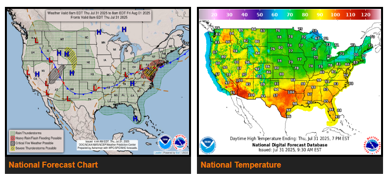
A slow moving cold front supported by favorable upper jet dynamics, sufficient instability and anomalous moisture is expected to produce heavy to excessive rainfall as well as potentially severe thunderstorms across the DC-PHI-NYC urban corridor today. A moderate risk of excessive rainfall is in effect from the DelMarVa region up to northern New Jersey.
Meanwhile, another slight risk of severe thunderstorms is in effect for the Central High Plains where damaging wind and hail producing storms will be the main threats this evening. The threat for flash flooding shifts southward into the Carolinas on Friday where a slight risk, (at least 15% chance) of excessive rainfall is in effect.
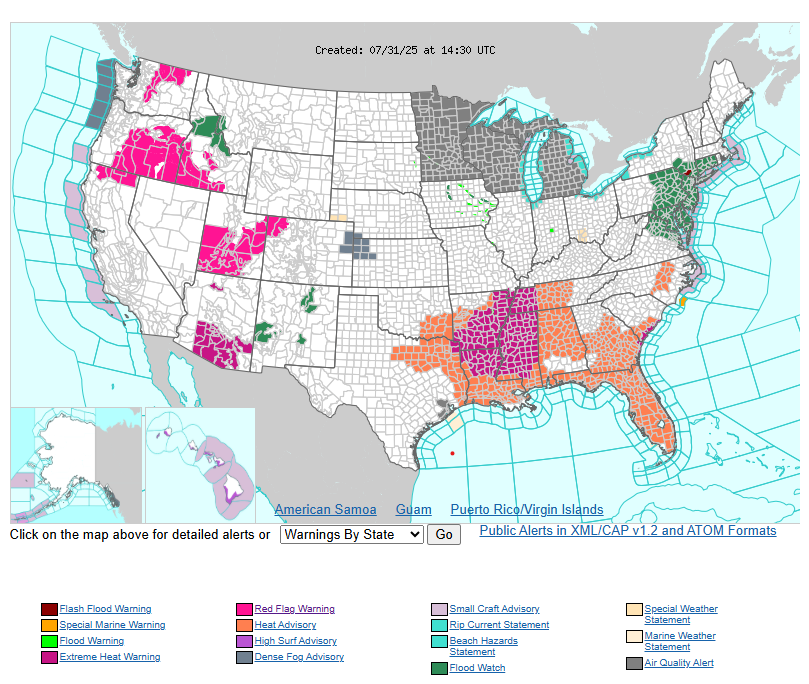
The arrival of a cold front will provide much needed relief to parts of the Central and Eastern U.S. over the next several days. Temperatures continue to drop below average on the backside of this cold front pushing south through the lower 48 east of the Rockies.
NEBRASKA
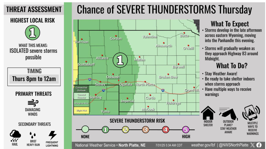
Thunderstorms form across eastern Wyoming late this afternoon, and move into the Panhandle this evening. A few storms could be strong to severe, with a threat for damaging wind and hail. Storms quickly weaken as they approach Highway 83 tonight.
Let’s have a wonderful day!