
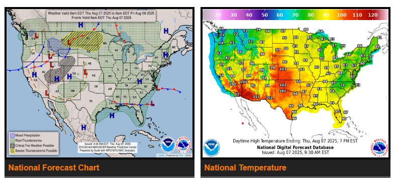
A front extending from the Northern Plains southwestward to the Great Basin on Thursday will advance eastward to the Upper/Middle Mississippi Valley to the Central Plains and then westward to the Great Basin by Saturday. The boundary will ignite showers and severe thunderstorms over the Northern Plains. Therefore, the SPC has issued an Enhanced Risk (level 3/5) of severe thunderstorms over the Northern Plains through Friday morning.
In addition, upper-level energy will produce showers and thunderstorms over parts of the Upper/Middle Mississippi Valley, Upper Great Lakes, and Ohio Valley. Rainfall over these areas will be moderate to heavy.
The front and tropical moisture will trigger showers and thunderstorms, accompanied by moderate to heavy rain, over parts of the Southeast/southern Mid-Atlantic and Gulf Coast through Saturday.
The showers and thunderstorms will produce moderate to heavy rain over parts of the Northern High Plains, Upper Mississippi Valley, and the western edge of Lake Superior. Diurnal heating will also produce showers and thunderstorms over the Great Lakes, Ohio Valley, Tennessee Valley, Mid-Atlantic, Lower Mississippi Valley, Southeast, Gulf Coast States, Central/Southern High Plains, Central/Southern Rockies, Southwest, and parts of the Northeast on Friday.
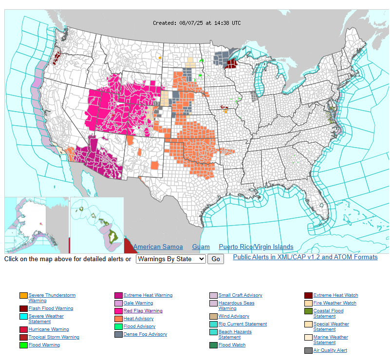
Furthermore, an upper-level high over the Southwest will produce high temperatures reaching the mid-110s on Thursday through Friday. The most significant heat is forecast to focus over central and southern Arizona with widespread Major to Extreme Heat Risk.
Have a fantastic day!