
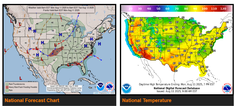
A nearly stationary front from the Upper Midwest to the southern Plains will bring more strong to severe storms and heavy rain today, especially across the central Plains this morning before shifting east into the Midwest, Ohio Valley, and lower Great Lakes by Wednesday.
Another weakening front will trigger scattered storms from the Ohio/Tennessee Valleys into the Deep South, with localized flooding possible near the Carolina coast. This system will keep a marginal heavy rain threat from the Gulf Coast to the Carolinas through Tuesday.
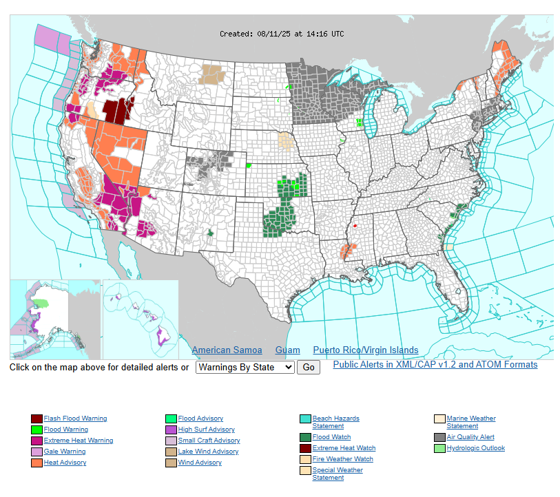
Heat and humidity will persist ahead of these fronts, with cooler air behind them over the northern Rockies and Plains. Hot, humid conditions will expand into the Ohio Valley, Mid-Atlantic, and Northeast midweek, while the Southeast stays cooler due to clouds and storms. Heat will also build across the Intermountain West, with multiple Heat Advisories and Extreme Heat Warnings in effect.
WYOMING
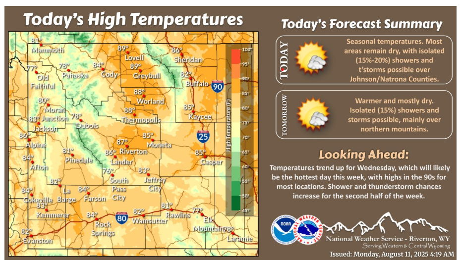
Temperatures warm today. Most areas remain dry, though a few showers and thunderstorms are possible, mainly around Johnson and Natrona Counties.
Let’s have a fantastic day.