
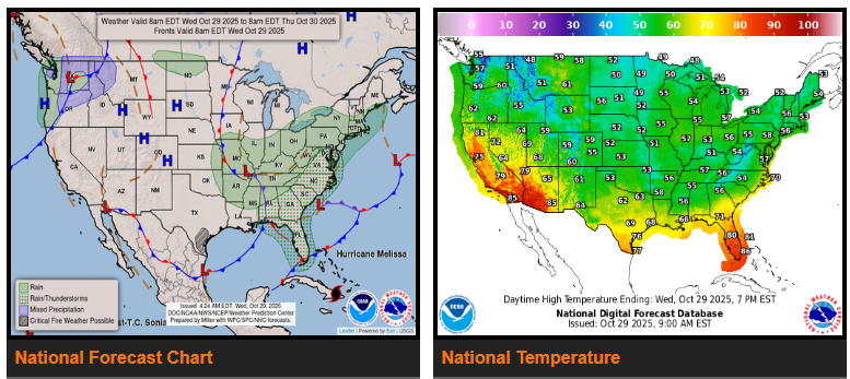
A strong storm system will bring widespread showers and thunderstorms from the Ohio and Tennessee Valleys to the Northeast over the next few days.
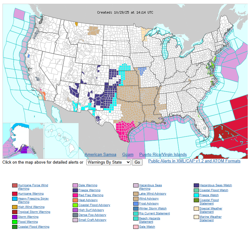
Cooler air will spread across much of the central and eastern U.S., with temperatures well below normal. Highs will stay mostly in the 50s and 60s, except for south Texas and Florida, which will cool into the 70s after several hot days. Morning lows could dip into the 40s along the Gulf Coast, and frost or freeze alerts are in effect for parts of the central and southern Plains.
Drivers should expect gusty winds across the southern Plains and Lower Mississippi Valley as the storm system deepens. Isolated flash flooding is possible in the Upper Tennessee and Ohio Valleys, the central and southern Appalachians, and parts of the Mid-Atlantic and NYC area.
Farther west, light rain and mountain snow may linger in the Pacific Northwest and northern Rockies through Wednesday. The West Coast and Southwest will stay warm and dry under a ridge of high pressure, with highs in the 70s to 90s and heat advisories continuing in southern California.
Have a fantastic day.