
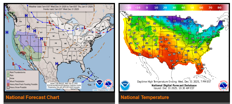
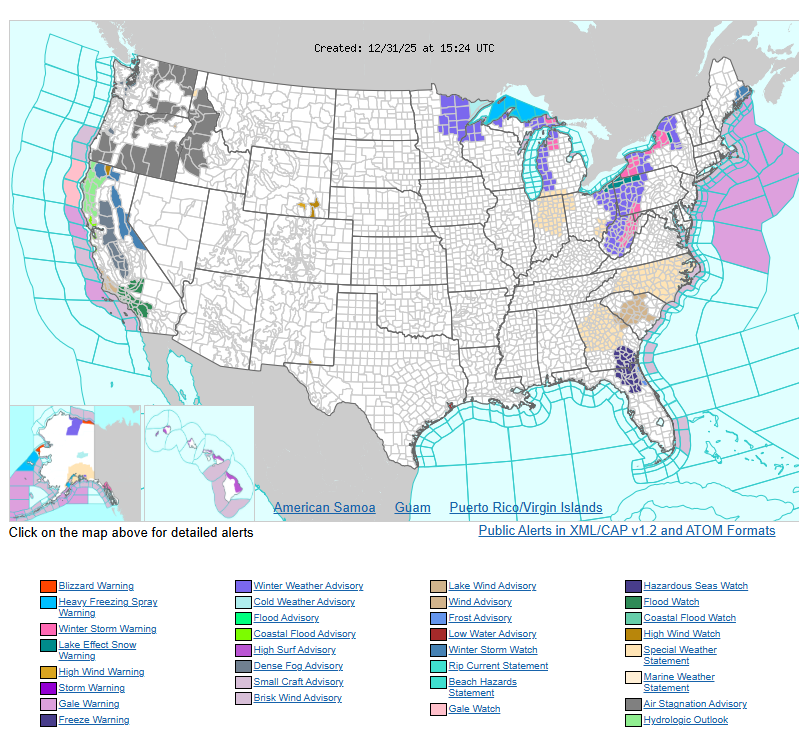
Very cold Arctic air continues across much of the eastern U.S., keeping lake-effect snow active near the Great Lakes. An Alberta clipper will intensify snowfall, especially downwind of Lakes Erie and Ontario, where 1–2 feet of additional snow is likely, with locally higher totals. Snow squalls may develop from the Ohio Valley into Pennsylvania and western New York late today into New Year’s Day, causing sudden whiteouts and slick roads. Widespread snow will also impact New England on New Year’s Day, with the heaviest totals in Maine. Gusty winds will lead to blowing snow and dangerously low wind chills.
Meanwhile, much of the Intermountain West remains quiet and milder for now, but colder air will push south into the Plains behind the clipper.
Out West, a strong storm system will bring widespread rain to Southern California starting late New Year’s Eve into New Year’s Day. Heavy rain is expected around coastal areas, including Los Angeles, with a risk of flash flooding. As the system moves inland, snow will impact higher elevations across California, the Great Basin, and the Rockies through Friday, while rain continues in lower elevations.
Drivers should plan for hazardous winter driving in the Great Lakes, Northeast, and New England, and watch for flooding and mountain snow impacts across the West.
WYOMING
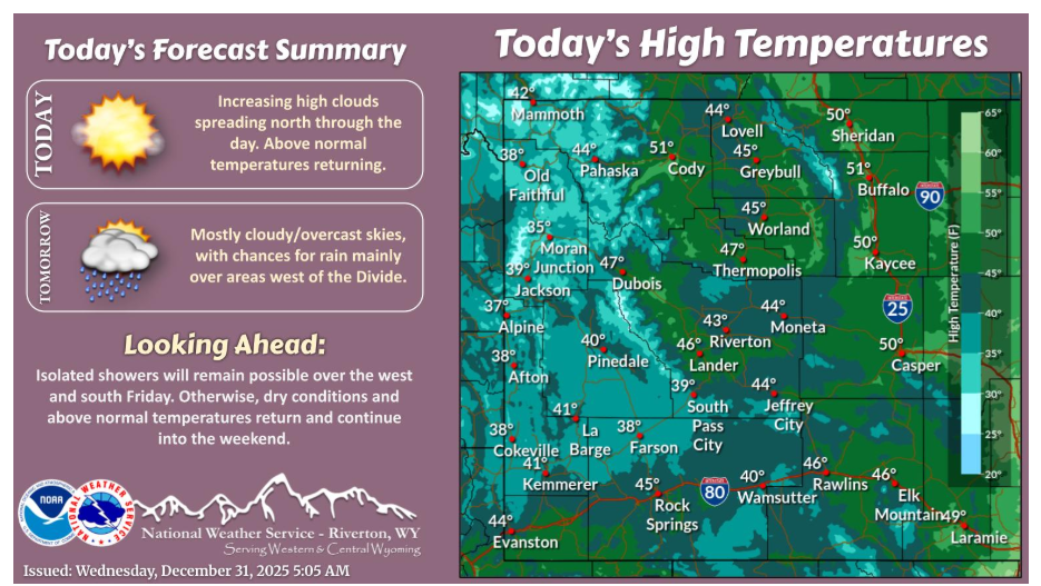
High clouds will be increasing through the morning. Otherwise, dry conditions and warming temperatures continue. Chances for rain will increase across areas west of the Divide New Year’s Day, with snow levels around 7500ft.
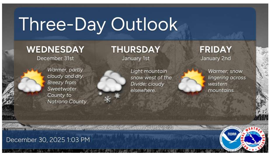
Here’s a look at the next few days as we welcome 2026. Light mountain snow and low elevation rain will return to areas west of the Divide Thursday and Friday. Otherwise, mainly dry and mild.
NEBRASKA
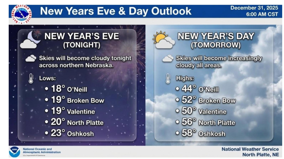
Other than cloud cover, the weather should be quiet for this New Year’s Eve and New Year’s Day. It will be mild New Year’s Day, with highs ranging from the mid 40s across north central Nebraska to upper 50s across western Nebraska.
Have a happy new year!