
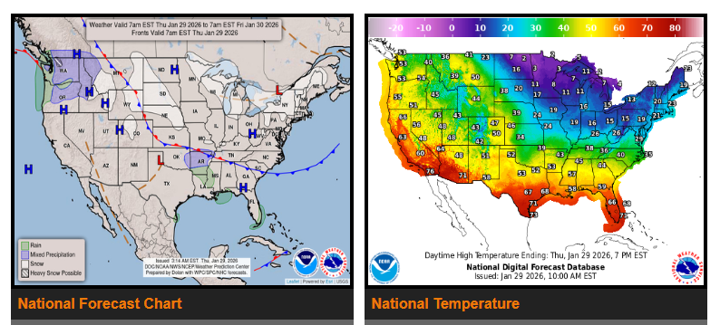
A strong storm system will develop by Thursday evening over the Southern Plains and Lower Mississippi Valley. It will move east along the Gulf Coast, reaching the Southeast Coast by Friday evening. By Saturday, the storm will track northeast along the Southeast Coast.
Snow and rain will begin across parts of the Middle and Lower Mississippi Valley Thursday evening, then spread into the southern Ohio and Tennessee Valleys Friday morning. By Friday evening into Saturday, snow will move into the southern Mid-Atlantic, while rain falls across much of the Southeast.
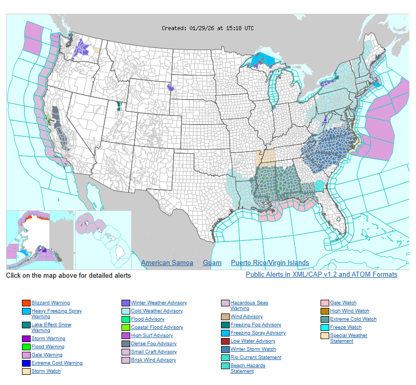
This storm is expected to rapidly intensify, bringing powerful onshore winds along the Mid-Atlantic Coast from the North Carolina Outer Banks northward. Wind gusts could approach hurricane force, and combined with high tides, moderate to locally significant coastal flooding is possible.
Near-blizzard conditions are likely in northeastern North Carolina and southeastern Virginia, with heavy blowing snow and sharply reduced visibility making travel extremely dangerous.
WYOMING
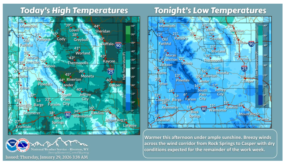
Warming trend starting this afternoon for the rest of the work week and into the weekend. Winds diminish in the Wind River Basin this morning as winds increase for the wind corridor. Mostly sunny skies and dry conditions for today and into tomorrow as well.
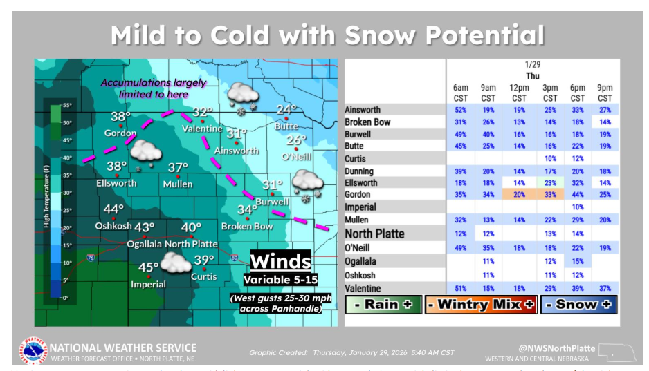
Varying temperatures continue today along with light snow potential, with accumulations mainly limited to areas north and east of the pink dashed line on the map, while other locations see little to no accumulation.
Have a safe day.