
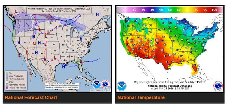
A record-breaking heatwave is developing from the Southwest through the Plains and into the Mississippi Valley.
Temperatures will continue rising across the Intermountain West and central U.S. over the next few days. A warm front will push well above-average temperatures into the High Plains today, the Plains on Wednesday, and the Mid-Mississippi Valley by Thursday.
The heat is expected to peak on Wednesday, with temperatures running 25–35 degrees above normal. Many areas may see records tied or broken.
Relief will arrive mid-to-late week as a strong cold front moves south across the country. This system originates from a Pacific low pressure system entering the Northwest and will push through the Intermountain West into the central and eastern U.S.
Along with cooler temperatures, this front will bring:
- Chances of snow or mixed precipitation in northern areas
- Strong to severe thunderstorms from the Mid-Mississippi Valley to the Ohio Valley (Thursday)
Behind the front, much colder air will settle in, with temperatures dropping to 10–15 degrees below average.
WYOMING
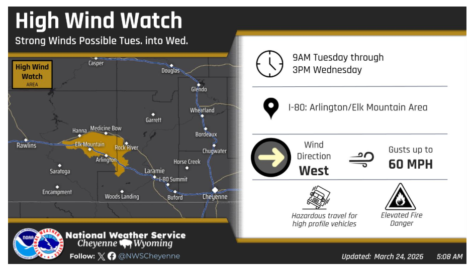
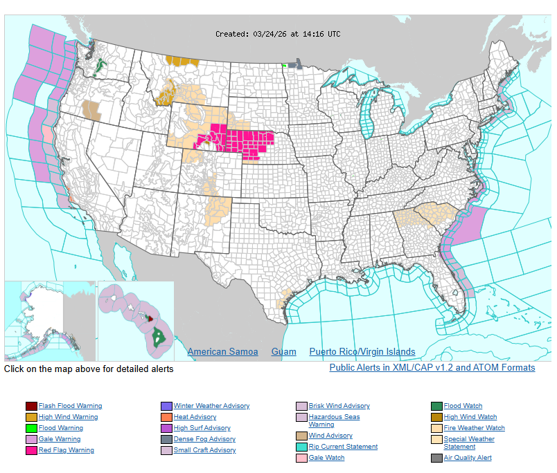
A High Wind Watch has been issued for the Arlington/Elk Mountain area along I-80 beginning this morning and continuing through Wednesday afternoon. Occasional gusts exceeding 60 mph will be possible.
Have nice and safe day.