
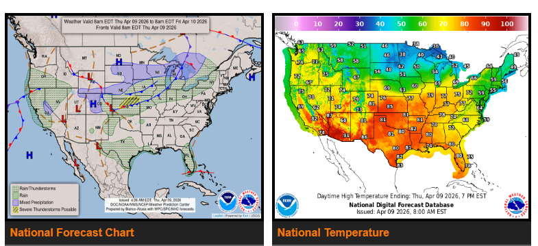
Heavy rain and thunderstorms will continue across the eastern Florida peninsula through tomorrow, with the greatest impact from the Space Coast down to Miami. Flooding is possible in some areas due to persistent rainfall.
Across the Central Plains into the Mid-Mississippi Valley, scattered strong to severe thunderstorms are expected Thursday into Friday, particularly from Kansas through Nebraska into Missouri. Drivers should be prepared for heavy rain, strong wind gusts, and the potential for large hail.
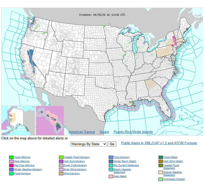
By Saturday, the Southern Plains may see increasing chances of heavy downpours, which could lead to localized flooding. At the same time, an active weather pattern will expand across much of the Western U.S. Friday into Saturday, bringing widespread showers and thunderstorms. Higher elevations, especially in the Sierra Nevada, may see snowfall.
Parts of the Northern Plains and Upper Great Lakes could experience a mix of rain and snow due to colder air moving through the region.
Temperatures across most of the country will remain 5–12 degrees above normal through Friday. The Northern Plains and East Coast will start off cooler but return to near normal by Thursday. By Saturday, the Northern Plains and Rockies will see a noticeable warm-up, while the West Coast begins to cool down.
Have a nice and safe day.