
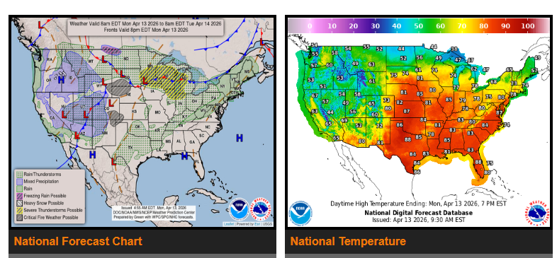
Strong to severe thunderstorms with heavy rain are expected across the Southern and Central Plains over the next couple of days. The Upper Midwest and Great Lakes will see storms Monday night into Tuesday morning, with another round expected Tuesday night into early Wednesday.
Unsettled weather will continue today across California and the northern Intermountain region, then shift into the Four Corners and Pacific Northwest Tuesday into early Wednesday. Rain, mountain snow, and windy conditions are expected in these areas.
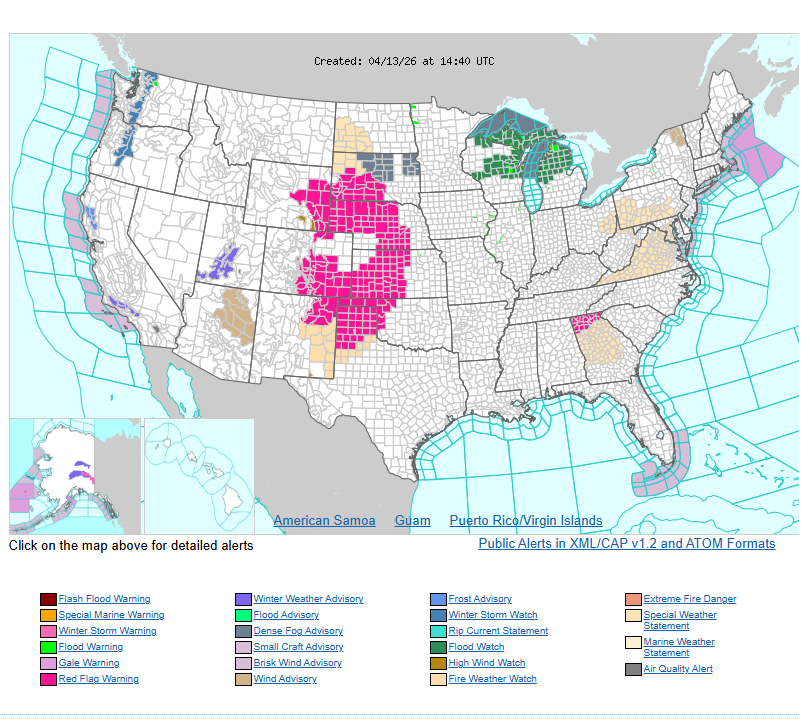
A critical fire weather risk is in place across the central to southern High Plains due to warm, dry, and windy conditions.
Warmer temperatures are building across the central and eastern U.S., with highs reaching into the 80s and possibly breaking records through midweek.
WYOMING
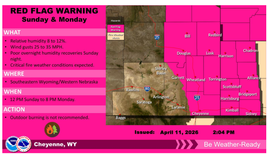
A Red Flag Warning is in effect for much of southeast Wyoming and the Nebraska panhandle. Dry and breezy conditions are expected Sunday afternoon through Monday evening. Outdoor burning is not recommended.
Have a nice and safe day.