
Weather Report 05/30/2025
A low-pressure system will bring a round of moderate to heavy rain and gusty winds from the Ohio Valley to the Mid-Atlantic states today then across New England on Saturday.
Severe thunderstorms possible later today for the Mid-Atlantic and the Southeast.
Heat risk expected to reach major level for interior California and portions of the Southwest Friday and Saturday.

WYOMING
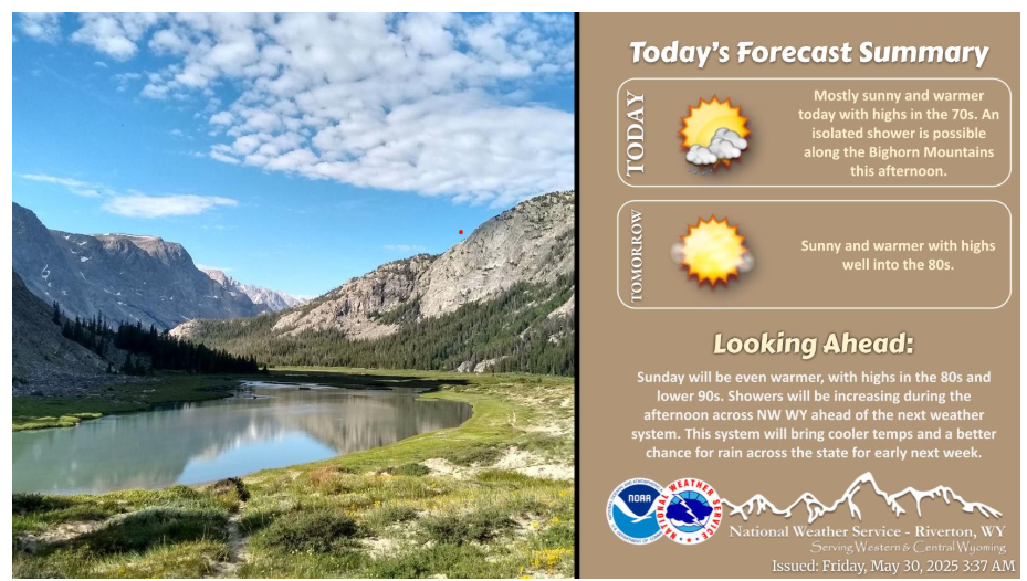
Mostly sunny and continued warm temperatures today with highs in the 70s and lower 80s. A few showers are possible mainly along the Bighorn Mountains. Saturday will be even warmer, with highs well into the 80s. Warm weather continues into Sunday.
Temperatures across many locations will climb into the upper 80s and low 90s this weekend, with the warmest day being Sunday. As a result, increased mountain snowmelt is expected, and could lead to increased flows in local streams and rivers. If you encounter flooding, please report it to your local law enforcement and stay away from high fast-moving water.
With the weather warming up, please remember to stay hydrated. Wishing you a fantastic and safe weekend!