
Weather Report 06/03/2025
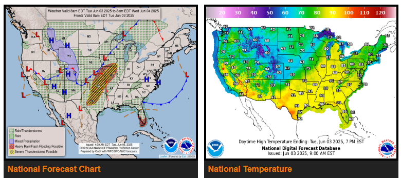
Widespread heavy rain and severe weather threats across the mid-section of the nation today will gradually shift eastward and lose intensity over the next couple of days.
Tropical moisture across South Florida is forecast to spread further up the Florida Peninsula and into the coastal Southeast.
Renewed round of showers and thunderstorms expected to move across the Four Corners into the central/southern High Plains.
Much cooler weather settles into the Central U.S., while the East warms up.
Another upper trough currently dipping off the coast of California will bring a renewed round of showers and thunderstorms for the Four Corners into the central/southern High Plains from Wednesday into Thursday, raising flash flooding chances over areas with terrain-enhanced rainfall and burn scars in the aforementioned areas.
WYOMING
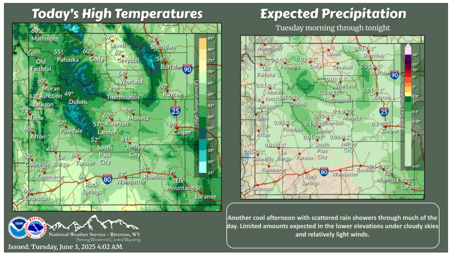
Another cool day ahead with more rain shower activity for some of the area. A steady warm-up through the end of the week and into the weekend with mostly dry conditions expected, enjoy it while it lasts!
NEBRASKA
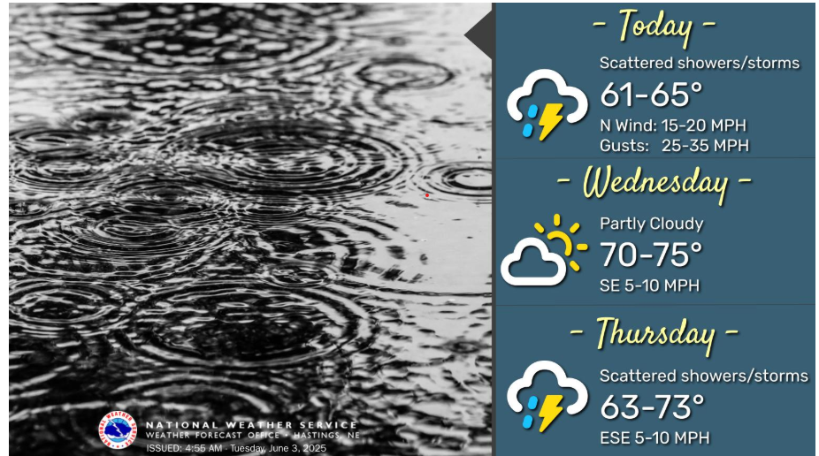
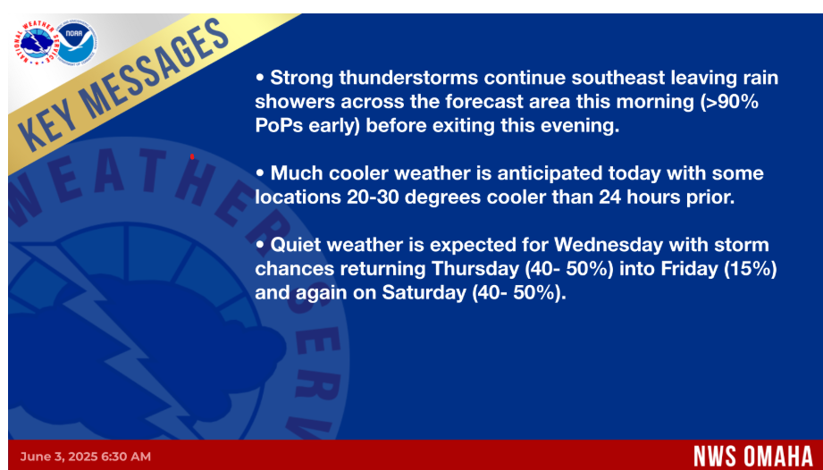
Widespread showers and storms are expected today. Rain will come to an end from northwest to southeast this afternoon/evening. Winds will be breezy this morning, gusting 25-35mph, but steadily decrease this afternoon. Highs today will be in the low to mid 60s. Wednesday will be partly cloudy during the day, with highs in the low to mid 70s. Precipitation chances (15-50%) return to the area Wednesday night. Thursday will be rainy, with scattered showers/thunderstorms during the day. Highs on Thursday will be in the low 60s to low 70s.
KANSAS
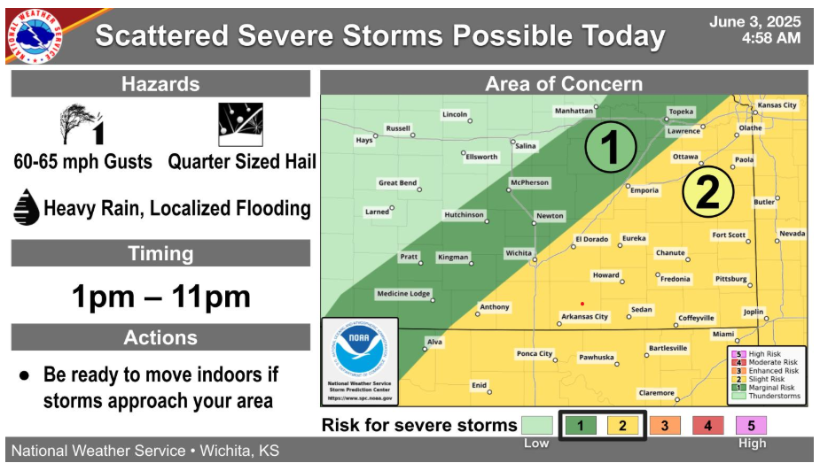
Additional storm development is expected early this afternoon and will last into the nighttime hours. A few storms could produce up to 65 mph winds, up to quarter sized hail, and locally heavy rainfall.
Drive safe out there and have a good day.