
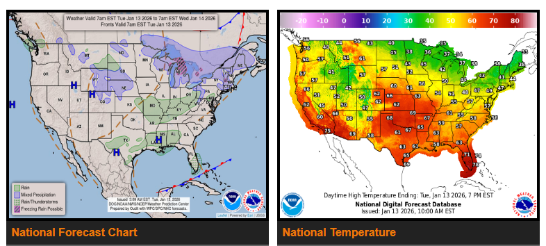
Well above-average temperatures will continue across much of the Lower 48 today, but a shift to colder weather begins tomorrow.
Unseasonably mild conditions are expected today, especially across the central U.S., where highs may reach the 50s to upper 60s—about 25 to 30 degrees above normal for this time of year. A cold front moving through this evening will start a cooling trend east of the Mississippi River.
By Thursday, much colder air will move in as a stronger system develops near the Great Lakes. High temperatures could fall into the 20s and 30s across parts of the Ohio Valley and Appalachians.
This cold air will also bring wintry weather to parts of the Midwest, Great Lakes, and Appalachians. Heavy lake-effect snow is expected Thursday morning in northern Indiana and southwest Michigan. Elsewhere, impacts should be minor, though some forecast uncertainty remains.
WYOMING
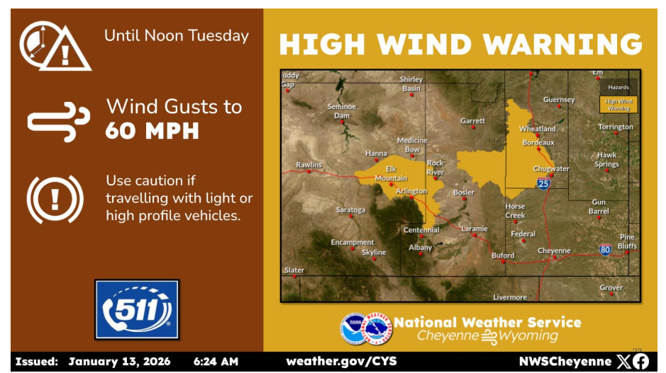
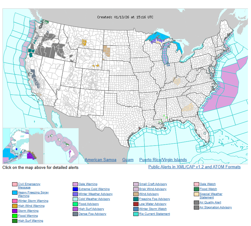
A High Wind Warning has been issued for the typical wind prone areas around Arlington/Elk Mountain and Bordeaux through noon today. Expect wind gusts of 50 to 60 mph.
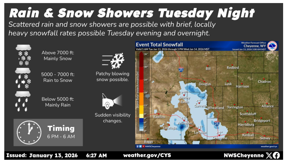
A weak cold front passing through the area tonight will bring a chance for scattered rain and snow showers. Localized visibility reductions and light accumulations (dusting up to an inch or two) are possible under heavier bands of precipitation. Due to the warm temperatures, areas below 5000 ft in elevation can expect mostly rain, while those between 5000 and 7000 ft will see rain mixing with and changing to snow. Above 7000 ft, precipitation type will be mainly snow. Expect gusty northwest winds for most of the day Tuesday and into Tuesday night.
Have a nice and safe day.