
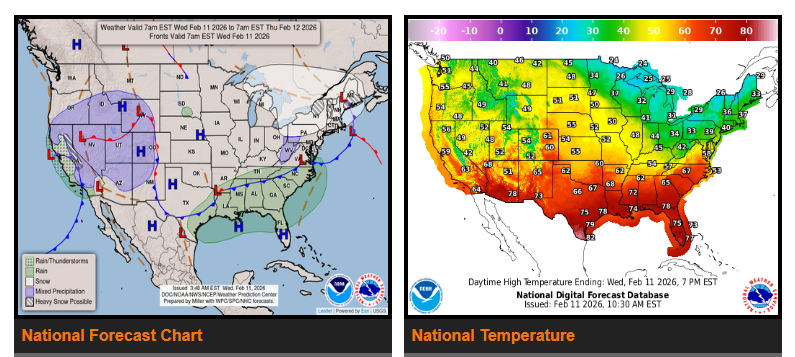
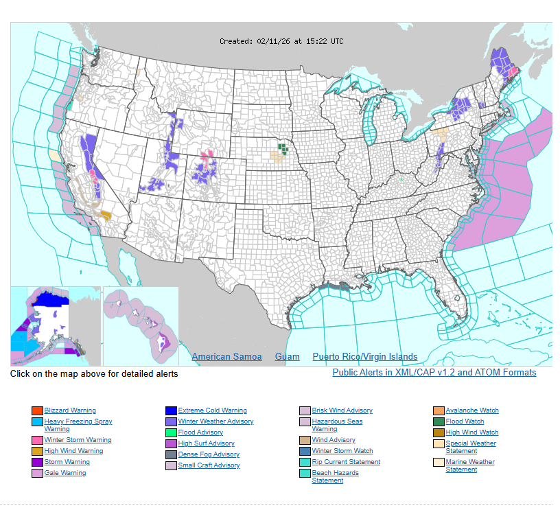
Rain at lower elevations and heavy snow in the mountains will continue across California today, spreading inland into parts of the Intermountain West by Wednesday. The Sierra will see the heaviest snow, while coastal areas and the Central Valley receive steady rainfall. As the system moves east, light rain will develop across the Great Basin and central Rockies, with snow in the higher elevations of the Wasatch and central Rockies. Precipitation will gradually taper off into Thursday, lingering longest in the mountains. Another disturbance may bring additional precipitation to the Southwest, southern Rockies, and southern Plains by Friday.
In the Northeast, snow showers will continue across Maine Wednesday following a clipper system. Lake-enhanced snow is expected downwind of Lakes Erie and Ontario, as well as in parts of the central Appalachians and central New England, with some moderate accumulations possible. Light to moderate rain showers will move through the Carolinas and along the Gulf Coast, with heavier rain most likely near the Atlantic coast. Most other areas will remain dry.
Temperatures remain above average across much of the country, especially in the central and southern regions where highs are running 15 to 20 degrees above normal for mid-February. Highs will reach the 40s and 50s in the northern Plains, 50s and 60s in the central Plains and Middle Mississippi Valley, and 60s to 70s across the Southwest, southern Plains, and Southeast. The Intermountain West will see highs in the 40s and 50s. The Pacific Northwest will be near average in the 50s, while California cools into the 50s and 60s behind the system. The Great Lakes and Northeast will turn colder after a frontal passage, with highs mainly in the 20s and 30s.
WYOMING
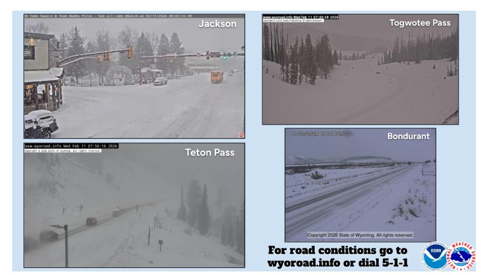
Winter travel conditions this morning across portions of western Wyoming. Use caution if travelling today.
Have a nice and safe day.