
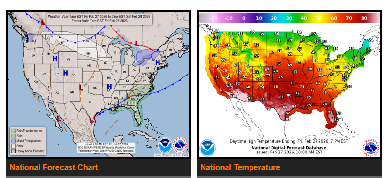
A band of snow will stretch from the Northern High Plains to the Great Lakes on Saturday. A cold front will move east toward the Northeast and south into the Ohio Valley, Mid-Mississippi Valley, and Southern Plains by Saturday evening. This system will bring light to moderate snowfall across those areas.
At the same time, another front from the southern Mid-Atlantic down to the Western Gulf Coast will slowly move southeast, reaching Southern Florida by Saturday evening. This will bring showers and thunderstorms across parts of the Southeast through Saturday.
Out West, upper-level energy moving onshore will produce scattered rain across Northern California and the Pacific Northwest, spreading into the Northern Intermountain Region and Great Basin by Saturday.
WYOMING
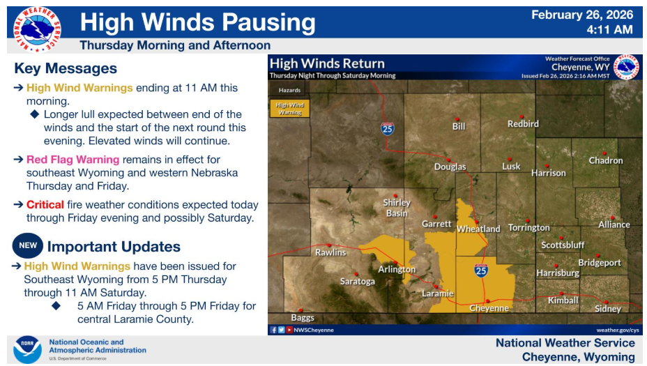
High Wind Warnings end at 11 AM this morning, with a longer lull in winds expected this afternoon and evening. Winds increase again later this evening. New High Wind Warnings have been issued from 5 PM tonight through 11 AM Saturday and 5 AM Friday to 5 PM Friday for Cheyenne.
Have a nice and safe day.