
An active early spring weather pattern will continue across the U.S. through the end of the week.
🌩️ Central & Eastern U.S.
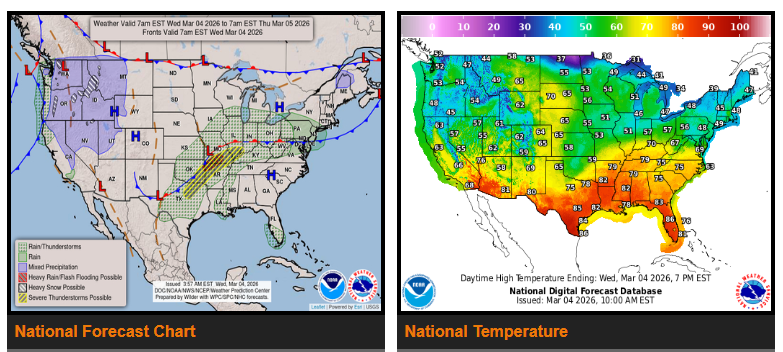
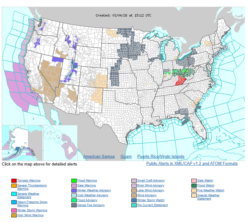
- Showers and thunderstorms over the Ohio Valley this morning (Wednesday) will move east and gradually weaken.
- A slow-moving front will remain in place and help trigger new storms later today.
- By this afternoon and evening, thunderstorms are expected to develop from North Texas through the mid-Mississippi and Ohio Valleys.
- Some storms may become strong to severe, producing:
- Large hail
- Damaging wind gusts
- Heavy rainfall and localized flash flooding
A Slight Risk for severe weather is in place from North Texas to the lower Ohio Valley through tonight.
By Thursday into Thursday night, the severe weather threat shifts west into the western High Plains (Texas Panhandle to western Kansas).
Have a nice and safe day.