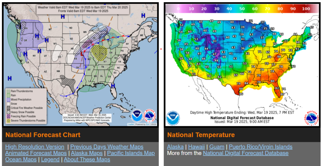
Heavy snow/blizzard conditions over Central Plains to the Upper Great Lakes on Wednesday; light to moderate snow over the Cascades on Thursday.
There is an Enhanced Risk (level 3/5) of severe thunderstorms over parts of the Middle Mississippi/Ohio Valleys and Upper Great Lakes on Wednesday.
There is a Critical Risk of fire weather over the parts of the Southern High Plains on Wednesday and Thursday.

Wyoming

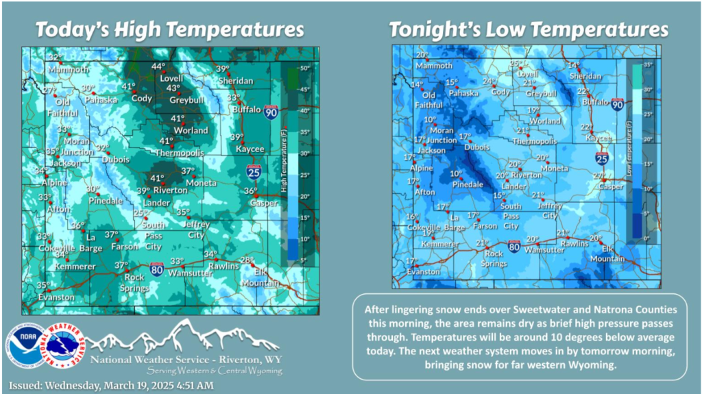
On the cold side today in the wake of yesterday’s cold front. Some lingering snow across Sweetwater and Natrona Counties this morning should end by midday. Dry conditions are expected otherwise today as brief high pressure passes through. Snow chances will increase across western Wyoming early Thursday morning as a quick weather system moves through.

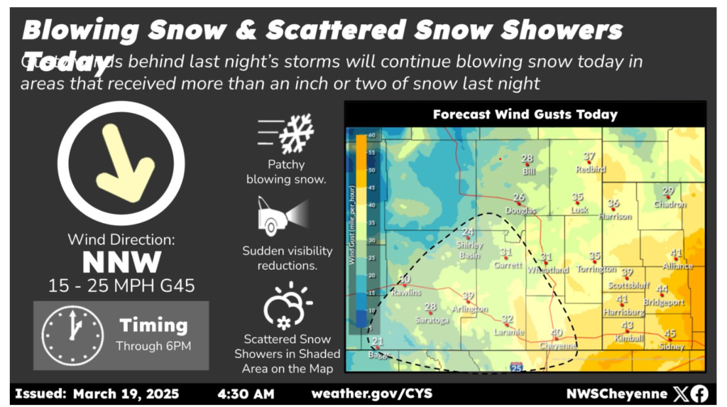
5AM 3/19 – Today will feel like mid-winter again with chilly temperatures stuck in the 20s and 30s and gusty north to northwest winds continuing. Areas that received more than an inch or two of snowfall last night can expect to see patchy blowing snow through the day today. In addition, another round of scattered snow showers will develop mainly in Wyoming (in the shaded area on the map) late morning into the afternoon. Additional snow accumulations will generally be a half inch or less outside of the mountains, where up to 3 additional inches will be possible.
March 19th, 5:30am – A High Wind Watch has been issued for the Bordeaux and Arlington wind prone zones from midnight tonight through 7pm Thursday. Wind gusts up to 60 mph are possible. Use caution if traveling with light weight and high-profile vehicles.
Nebraska

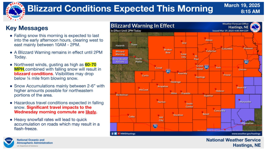
A Blizzard Warning remain in effect until 2PM Wednesday. Snow will continue through the early afternoon hours. Falling snow combined with northwest winds gusting as high as 60-70 MPH will result in blizzard conditions. Hazardous travel is expected with significant impacts to the morning commute expected.
