
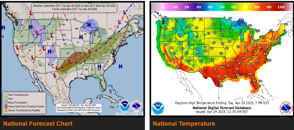
Strong to severe thunderstorms to impact the interior Northeast into the Ohio Valley later today into this evening.
An episode of heavy rain is expected to bring flash flooding concern across the south-central U.S. through early Thursday.
Scattered strong to severe thunderstorms forming ahead of the trailing cold front will continue to advance eastward through the remainder of the Great Lakes today before sweeping across the Northeast tonight.
WYOMING
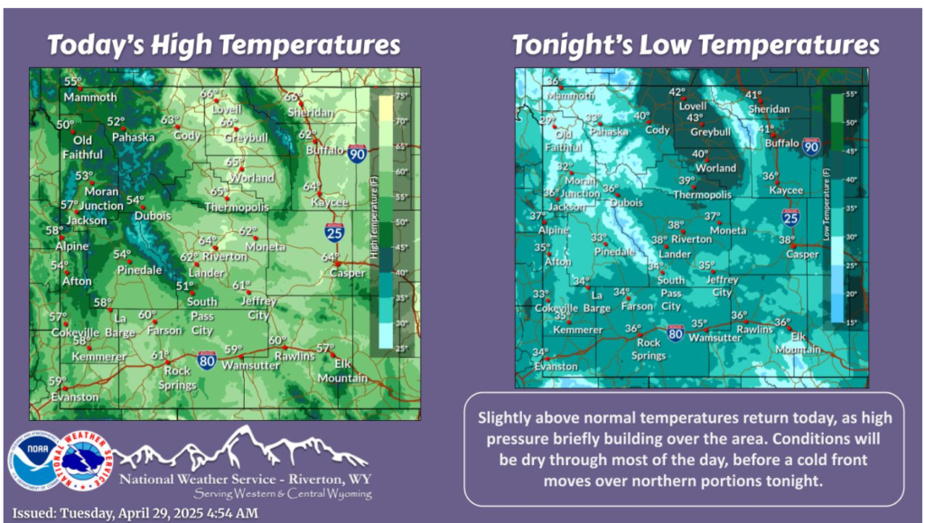
High pressure returns temporarily today, bringing drier and warmer conditions. Rain and mountain snow will reach far northwestern portions this evening, spreading across northern portions as a cold front move through the area. The front will reach the Divide by sunrise Wednesday.
Scattered rain and thunderstorm chances continue through the middle of the week. Wednesday will have the best chance for decent precipitation, especially along the I-80 corridor. Temperatures will be quite nice in the 50s and 60s. Enjoy!
Have a nice and safe day.