
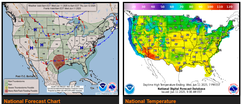
Heavy to Excessive Rainfall likely across parts of Texas and Oklahoma over the next few days.
Hot weather continues out West with some moderation across the Pacific Northwest.
The main thing making weather headlines through the middle to end of the work week will be the widespread coverage of showers and thunderstorms across much of the southern Plains, with a particular focus across central and eastern Texas, the ArkLaTex region and western Louisiana.
Another area of moderate to heavy rainfall is also expected across portions of the Upper Midwest, centered over southern Minnesota Thursday evening into early Friday where 1 to 2 inches is currently forecast.
Anomalous heat by mid-June standards will continue through mid-week across much of the interior Western U.S. as an upper level ridge governs the overall weather pattern. The most impactful heat will be across the lower elevations of the Desert Southwest where afternoon highs will reach 105 to 110 degrees, and Heat Risk reaching the moderate to major category.
WYOMING
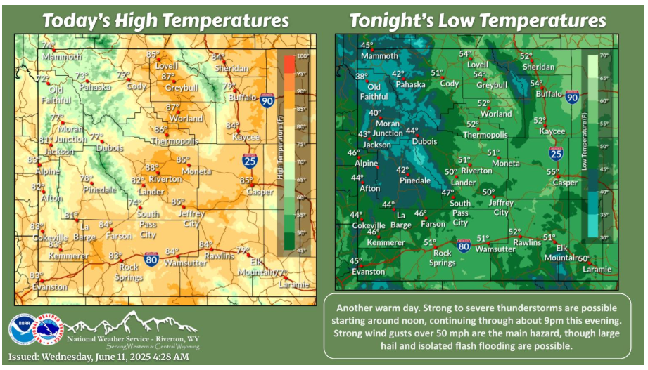
Strong to severe thunderstorms are possible starting around noon, continuing through about 9pm this evening. Strong wind gusts over 50 mph are the main hazard, though large hail and isolated flash flooding are possible.
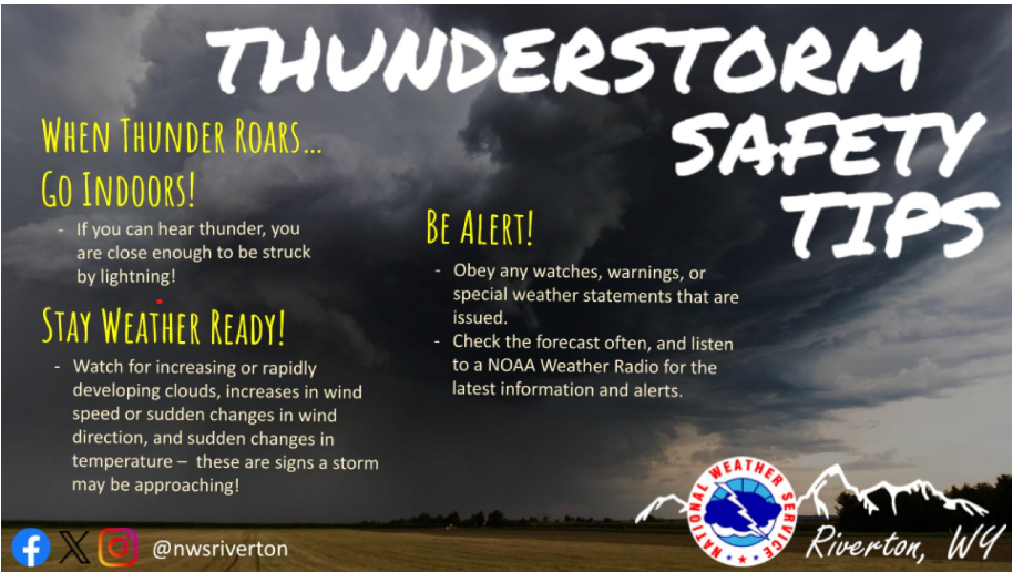
If you can hear thunder, you are close enough to be struck by lightning, so it’s best to head indoors. Be alert for any watches, warnings, or special weather statements that are issued during active summer weather.
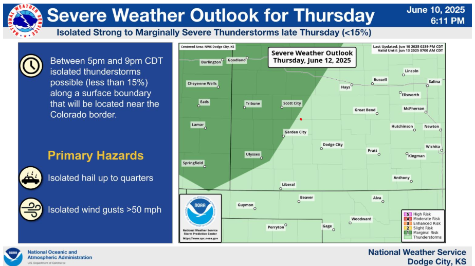
There is less than a 15% chance for isolated strong to marginally severe thunderstorms late Thursday. Main hazards will be hail and gusty winds.
Western Kansas will be in a fairly dry and very warm pattern through the end of the week, however thunderstorm chances will gradually increase toward the weekend into early next week. At this time, however, it does not appear that a major severe weather outbreak will likely occur or a widespread excessive rainfall event(s) either.
Have a good day!