
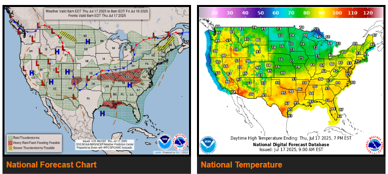
A slow moving, sometimes quasi-stationary cold front stretching from the Northeast/Mid-Atlantic west through the Midwest and into the central/southern Plains will provide the focus for scattered to widespread thunderstorms the next couple of days. A moisture-rich airmass remains in place, providing the fuel for efficient, very heavy downpours and instability for severe weather.
On Thursday, one area of concern will be from the central/southern Appalachians west through the Ohio Valley and into the Middle Mississippi Valley/adjacent southern Plains.
To the south, the National Hurricane Center continues to monitor a slow-moving area of low pressure along the north-central Gulf Coast. Regardless of any further development of this tropical disturbance, thunderstorm activity around the low and plentiful Gulf moisture will bring the threat for torrential downpours.
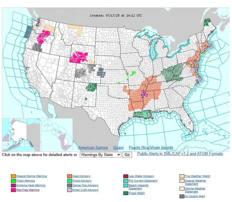
Uncomfortable heat continues this week across most of the eastern U.S. from the East Coast west into the Ohio Valley/Southeast and Lower Mississippi Valley. Highs into the 90s combined with the very muggy airmass that has plagued the region has led to widespread coverage of Moderate to Major Heat Risk (levels 2-3/4), indicating a level of heat that can affect anyone without access to air conditioning or adequate hydration. The passage of the cold front across the Northeast/northern Mid-Atlantic will bring relief to these areas Friday.
WYOMING
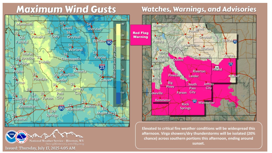
Elevated to critical fire weather conditions will be widespread across the area this afternoon. Seasonal to hot temperatures return, with isolated (20% chance) virga showers/dry thunderstorms occurring across southern portions.
NEBRASKA
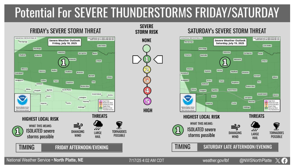
Isolated severe thunderstorms are possible Friday and Saturday across the area. The main threat is north of a line from Oshkosh to Callaway on Friday and across the entire area on Saturday. Large hail, damaging winds and a tornado or two are possible.
Have a fantastic day!
“If you want to conquer fear, don’t sit home and think about it. Go out and get busy.” – Dale Carnegie