
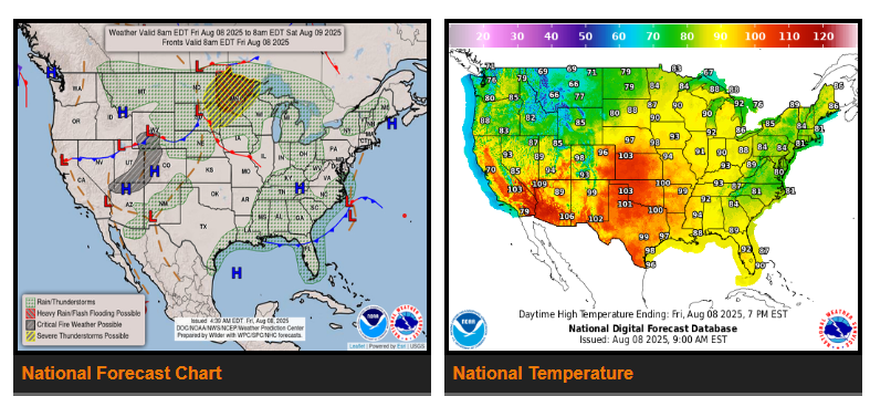
A strong upper-level trough moving from the northern Rockies into the northern Plains will bring severe weather from North Dakota this morning to northern Minnesota by tonight. The Storm Prediction Center has issued an Enhanced Risk for North Dakota and a Slight Risk for parts of the upper Midwest through the weekend. Heavy rain will spread from northern Minnesota into Iowa, southern Wisconsin, and northern Illinois as a reinforcing low pressure wave develops.
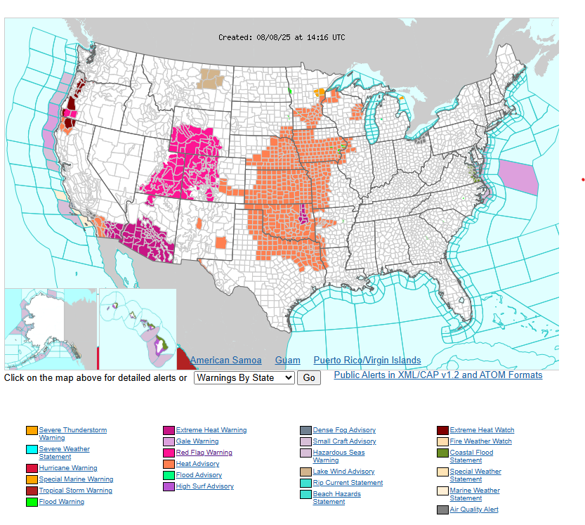
In the West, a cold front will increase winds and wildfire risk from the Great Basin to the Four Corners. The ongoing heat wave in the Desert Southwest will ease slightly this weekend, with highs dropping 5–10°F but remaining hot. Meanwhile, heat and humidity will build across the central/southern Plains and Midwest, with highs well into the 100s.
Have a fantastic weekend!