
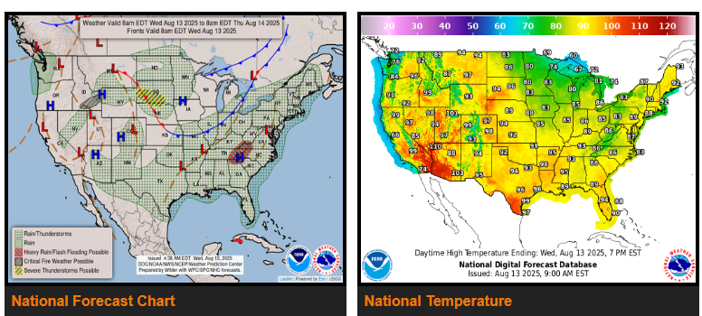
A series of cold fronts will move from the Midwest across the Great Lakes into the eastern U.S. over the next few days, bringing warm, moist air that will fuel scattered afternoon and evening storms. Heavy rain is most likely today and tonight in the southern Appalachians, where tropical moisture is lifting northeast from the Gulf Coast.
In the northern Plains, a developing system will bring heavy rain and storms from South Dakota into northern Nebraska, with a Slight Risk for severe weather. The threat will shift into the upper Mississippi Valley Thursday into Friday.
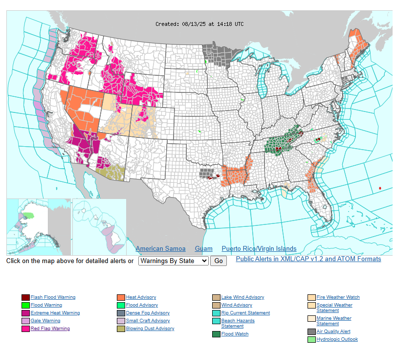
Cooler air will follow in the Northwest and northern High Plains, ending the recent heatwave, while heat shifts east into the central Plains and Midwest, reaching the 90s to over 100°F. The Northeast will cool gradually with showers ahead of the front, while northern Florida faces extreme heat risk late this week as the Bermuda High builds westward.
WYOMING
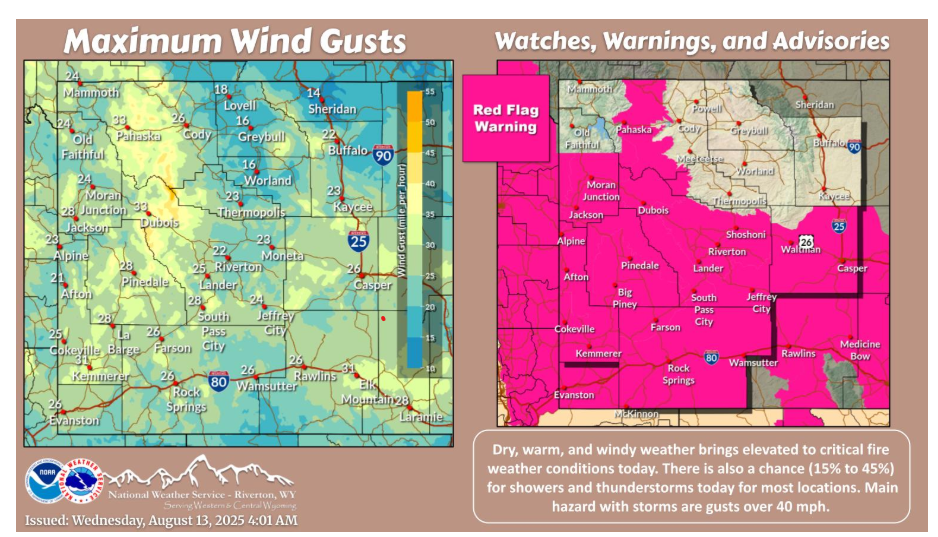
Warmer today, with elevated to critical fire weather conditions. Showers and thunderstorms are possible (15% to 45%) across the area today, with wind gusts over 40 mph the main hazard.
Have a fantastic day.