
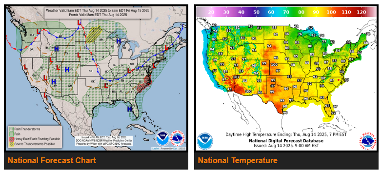
Warm, moist air across the eastern U.S. and Deep South will fuel scattered showers and thunderstorms, most active late afternoon into evening over the next couple of days. Heavy rain and possible flash flooding may occur today into tonight along the Mid-Atlantic/Carolina coast, with a Slight Risk (Level 2/4) of Excessive Rainfall. A cold front arriving by Friday will bring a more stable airmass, reducing storm coverage across the Tennessee Valley, though isolated flash flooding remains possible from the lower Mississippi Valley into the Northeast.
A deepening low over the Canadian Prairies will push a warm front across the Northern Plains, triggering rounds of strong to severe storms into the upper Midwest, with damaging winds and large hail possible. The severe threat shifts east toward the upper Great Lakes by Saturday.
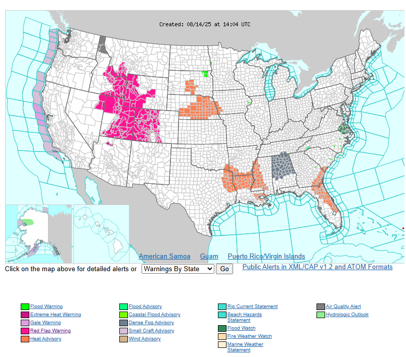
Cooler air will follow the cold front into the northern High Plains and Northwest, ending recent heat in the Intermountain West. Heat will build across the central Plains, with highs near 100°F, and northern Florida may see Major to Extreme Heat Risk as the Bermuda High expands west. Monsoonal moisture will keep scattered storms over the southern Rockies, spreading into the Four Corners by the weekend.
Have a fantastic day!