
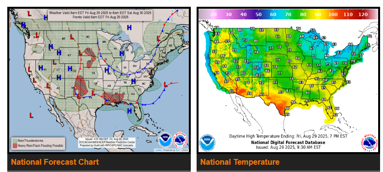
A strong cold front will bring another round of cooler-than-normal air to the Great Lakes, Ohio Valley, Northeast, and Mid-Atlantic over the next few days. Highs will settle in the 60s and 70s, with overnight lows dipping into the 40s and 50s—some colder spots could even touch the 30s. Scattered showers and storms are possible in the Northeast through the holiday weekend, but high pressure will follow, bringing pleasant late-August weather.
While much of the country feels more like fall, summer heat lingers in South Texas, the Desert Southwest, and the Pacific Northwest. Highs will soar into the 90s and even reach 110° in parts of southern California, Nevada, and Arizona. Stay safe in the heat this Labor Day—hydrate, take breaks, and seek shade when possible.
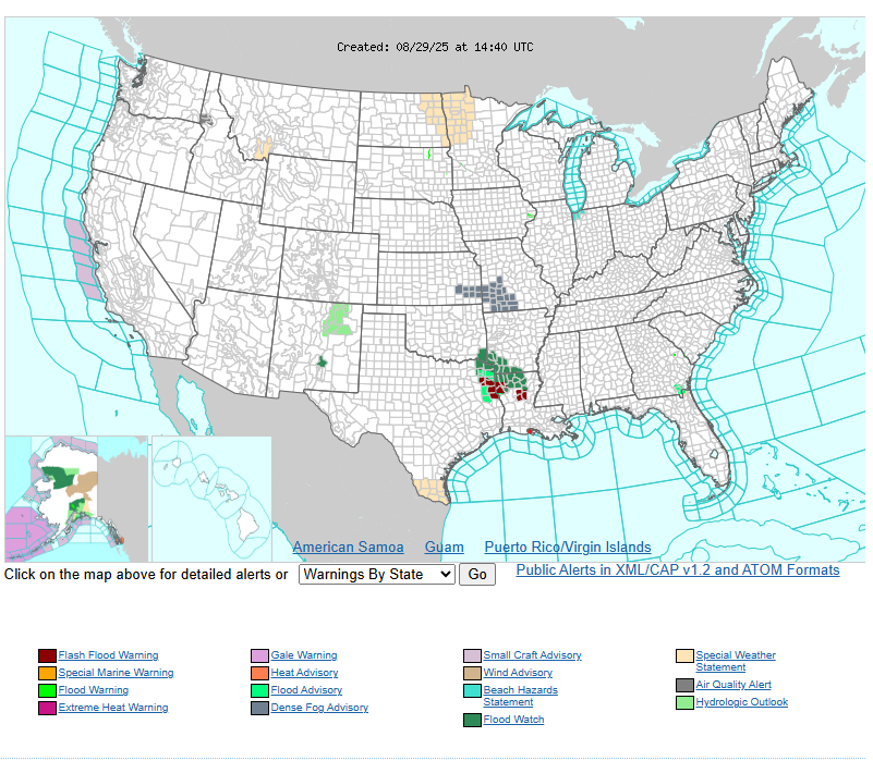
Meanwhile, wet and stormy conditions will impact the Plains, Gulf Coast, Southeast, and Florida. Slow-moving fronts will trigger rounds of heavy rain and thunderstorms, with flash flooding possible. Travelers should plan ahead, watch for alternate routes, and remember: Turn Around, Don’t Drown.
WYOMING
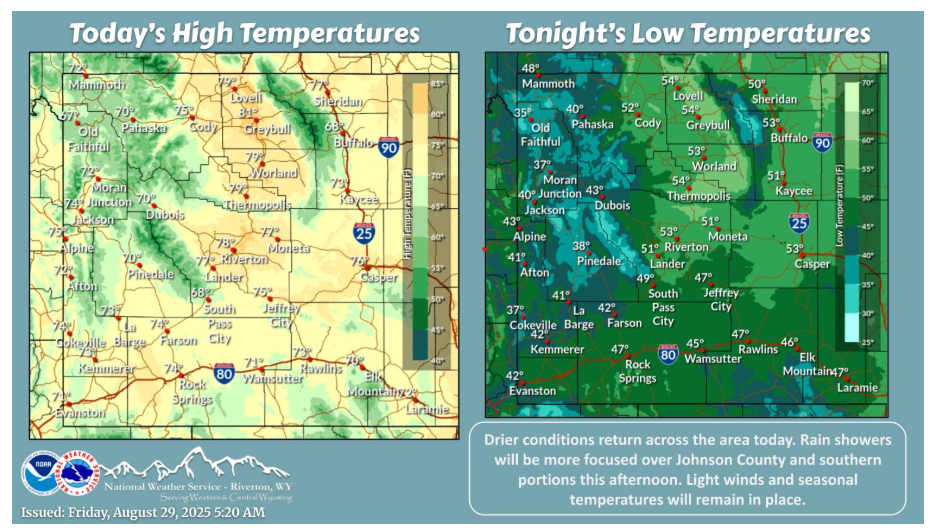
Areas of fog over northwestern portions so far this morning. Showers will be possible over southern portions and Johnson County this afternoon. Additional showers will be possible from Cody to Casper through the overnight hours.
Have a nice day and weekend.