
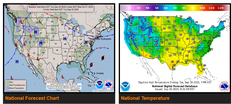
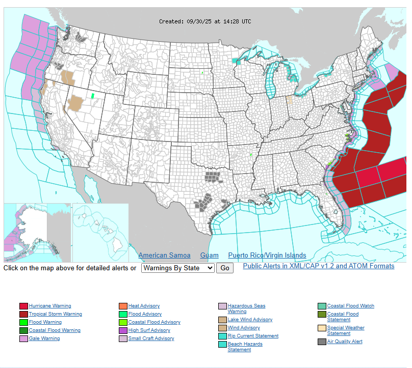
Tropical moisture from Imelda will bring showers and thunderstorms to the Southeast and Mid-Atlantic coast through Tuesday afternoon. The storm is expected to remain offshore as it tracks northward, then shifts northeast out over the Atlantic. Additional showers and thunderstorms are likely along parts of the Florida coast from Tuesday afternoon through Wednesday evening, supported by lingering tropical moisture and weak upper-level disturbances.
Meanwhile, a front moving inland across the Northwest will spread into the Northern Plains and the Northern/Central Rockies by Wednesday evening. This system will bring rain to parts of the Northwest and Northern California through Tuesday morning, while also sparking showers and thunderstorms across the Great Basin and Northern Intermountain Region into Tuesday night. By late Tuesday and into Wednesday, scattered storms will expand into the Northern/Central Plains and Upper Mississippi Valley.
A second front is expected to reach the Pacific Northwest Tuesday evening, stalling briefly along the coast before pushing inland on Wednesday. This boundary will produce additional rain and showers across the Pacific Northwest coast and Northern California through Wednesday evening.
Have a fantastic day.