
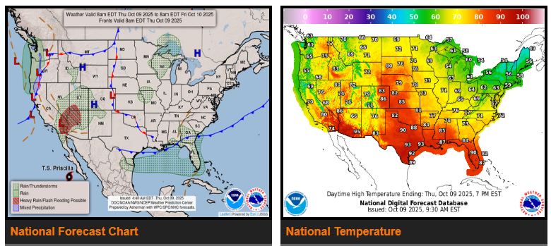
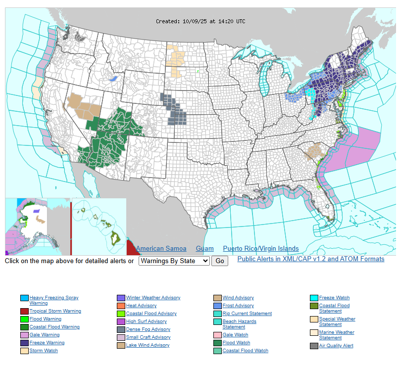
Heavy rain and flash flooding risks will increase across the Southwest as moisture from Tropical Cyclone Priscilla moves north. The greatest risk is expected today across southeastern California, southwestern Arizona, southern Nevada, and southwestern Utah, spreading eastward on Friday. Flooding will be most concerning in burn scar and urban areas.
Along the Southeast and Mid-Atlantic coasts, expect coastal flooding, high surf, dangerous rip currents, and gusty winds through the weekend as a system strengthens off the Florida coast.
Cooler air will move into the eastern U.S., with highs in the 50s–60s and morning frost possible in the Upper Midwest and Northeast. In contrast, the Plains and Southwest will stay warmer, reaching the 70s–90s.
A Pacific system will bring cooler temperatures and rain to the West Coast and Pacific Northwest through the weekend, with possible mountain snow by Saturday.
WYOMING
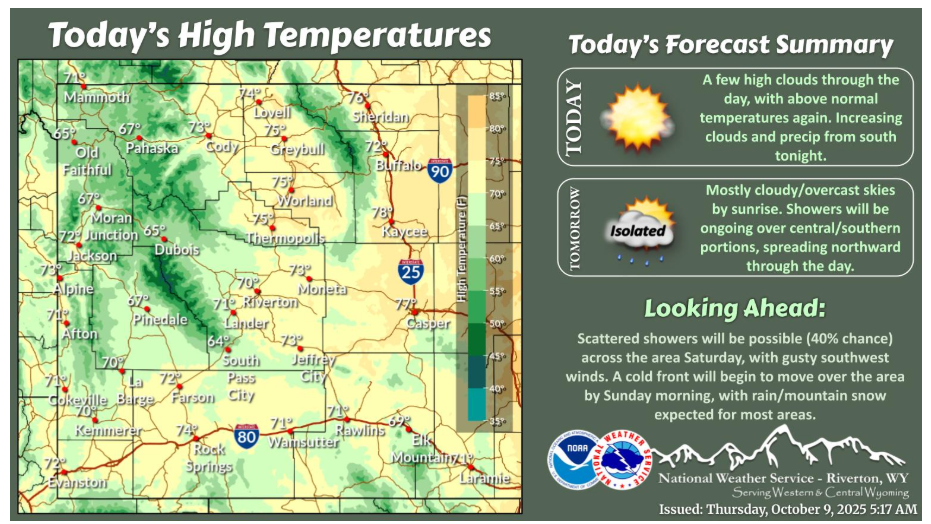
Dry conditions and above normal temperatures will continue today. Clouds will increase from the south tonight, with rain showers becoming possible over the south by 3am. Isolated showers will be possible over the central basins after sunrise Friday morning.
NEBRASKA
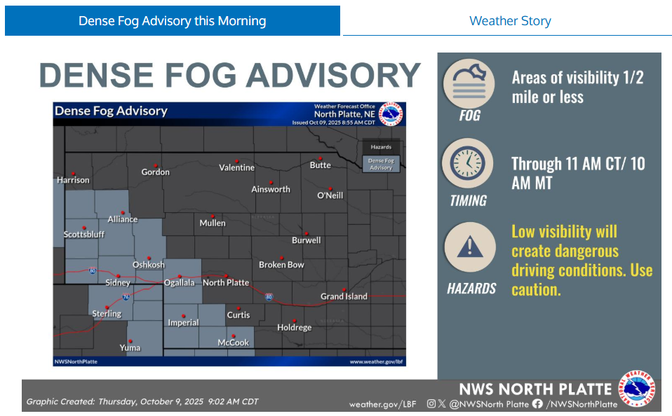
A dense fog advisory is in effect for portions of southwest Nebraska into the southern Panhandle through 11am CT/10am MT. Areas of visibility 1/2 mile or less will be possible. Low visibility will create dangerous driving conditions, use caution.
Have a fantastic day!