
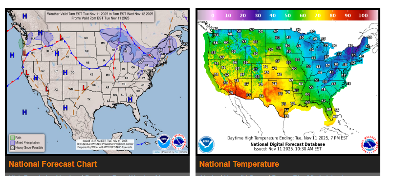
Unseasonably cold conditions continue along the Southeast Coast and across Florida today, while the Central U.S. begins to warm up.
Snow will persist across the Lower Great Lakes and interior Northeast through tonight, and a new atmospheric river system will bring heavy rain and mountain snow to the West Coast starting late Wednesday.
Cold, polar air remains in place over the Southeast, with highs only in the 40s to 60s — about 20–30 degrees below normal. Many locations may challenge record low maximum temperatures today. Conditions will gradually moderate on Wednesday as the upper low lifts into eastern Canada.
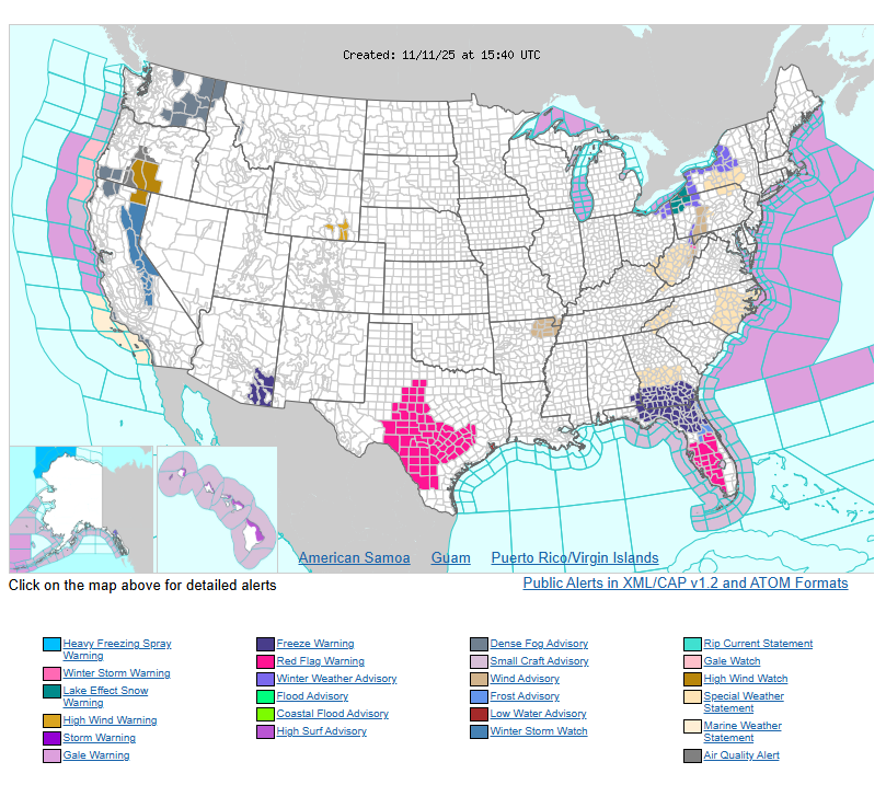
Lake-effect snow continues downwind of Lakes Erie and Ontario and into parts of the northern Appalachians, with 4–8 inches possible by Thursday morning. Winter Weather Advisories and Lake Effect Snow Warnings remain in effect.
Out West, a strong upper-level trough will draw substantial moisture into the region Wednesday night. Expect moderate to heavy rain along the California coast and heavy mountain snow across the Sierra on Thursday. Winter Storm Watches are posted for the Sierra from late Wednesday through early Friday, and there’s a marginal (5%) risk of flash flooding across parts of northern California Wednesday night.
WYOMING
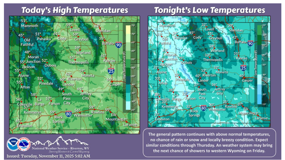
More of the same today with mild temperatures and locally breezy conditions with a mix of sun and high clouds. Mild and dry conditions will continue through Thursday.
Have a fantastic day.