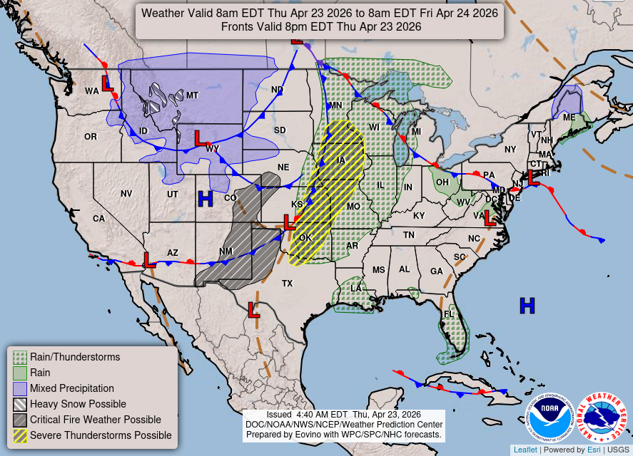
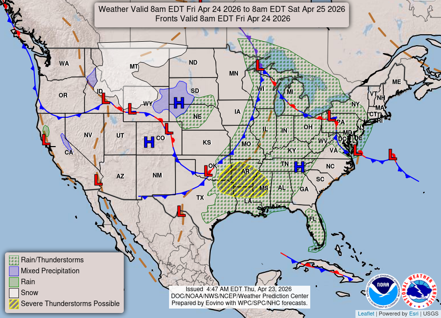
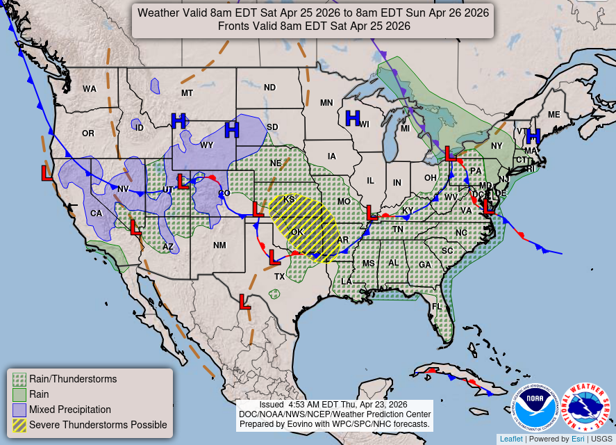
Severe thunderstorms are expected to form today from northern Oklahoma into southern Minnesota. Very large hail and tornadoes will be the initial threats this afternoon, then transition into a wind threat tonight. Gusty winds, warm temperatures, and very dry conditions will create a Critical Risk of fire weather across portions of the southern Plains today.
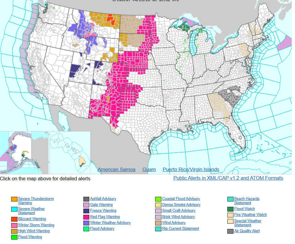
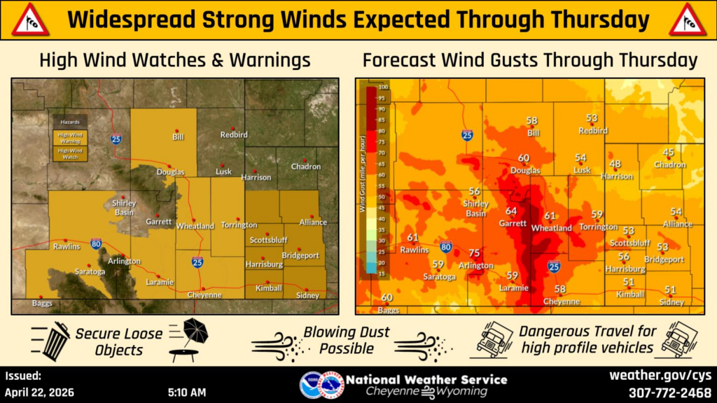
High Wind Watches across southeast Wyoming have been upgraded to High Wind Warnings, with gusts between 60 and 70 mph possible. The typical wind prone areas could see gusts upwards of 80 mph, especially near the I-80 Summit and Bordeaux. Use caution if traveling with lightweight or high profile vehicles.
THREE DAY FORECAST: